Nov 28 / Benjamin Schumann

Agentify your GIS-map elements

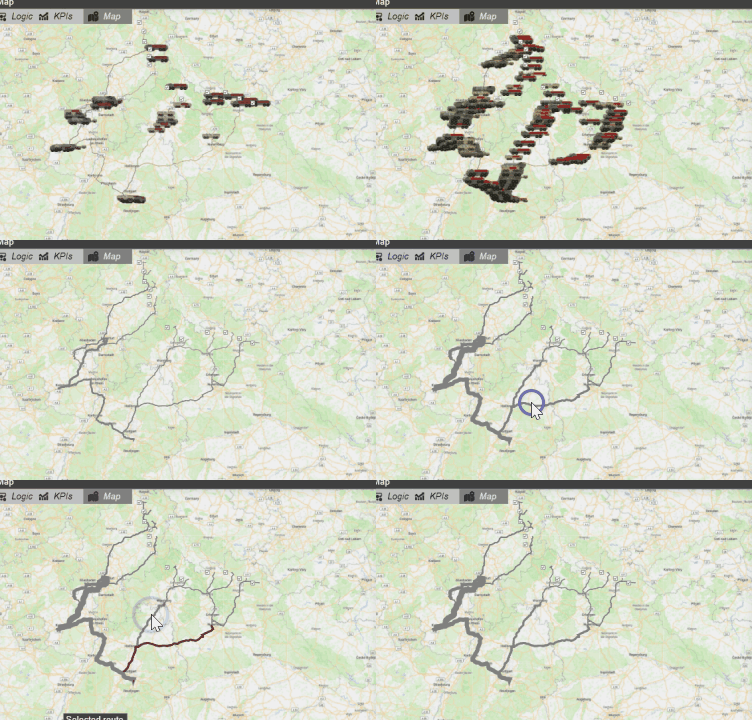
The AnyLogic GIS map is a fantastic tool. But like most things in AnyLogic, you can make it much more powerful yet. What if you could click and interact with road, regions or points? Or display traffic usage visually? 

The model

I created a free demo model for you. Click "Play" below and try to select a route:

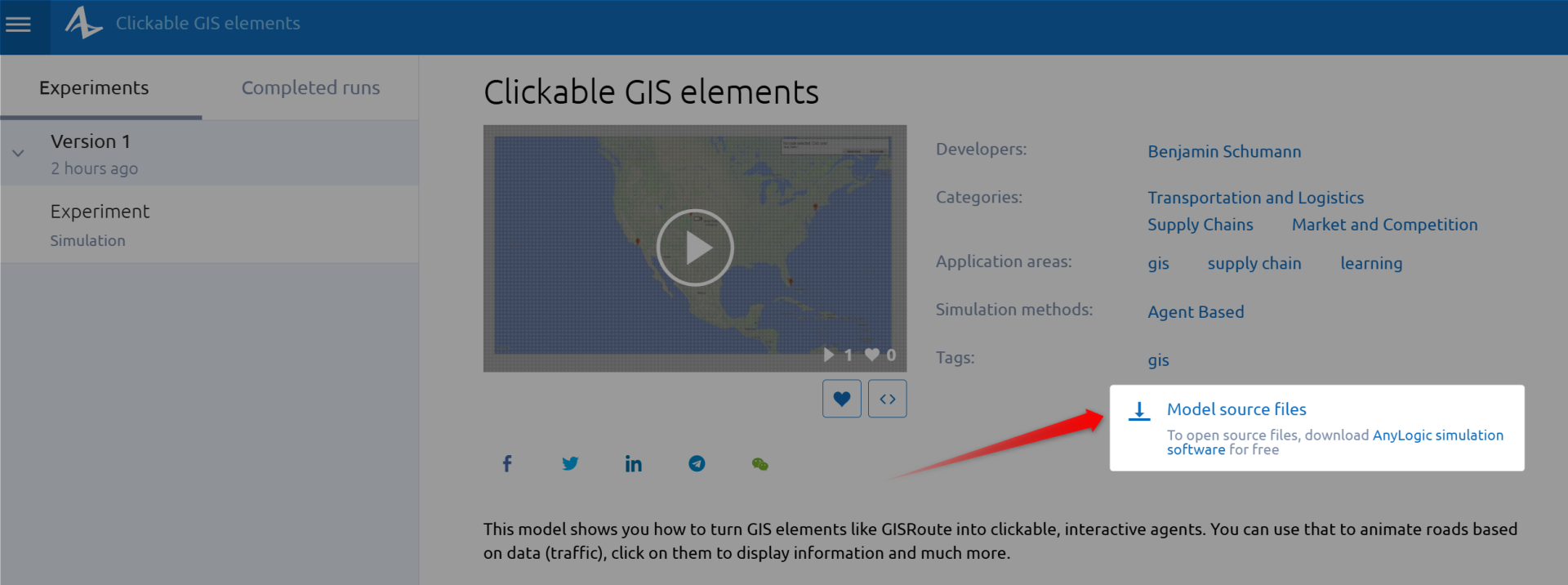
You can download the source files here. Simply click the "Model source files" button as shown below.
Understand how it works

In the video below, I take you through the model step by step. Download the model above and follow along to learn how it works:

Write your awesome label here.
Created with